
TongChui M1
A production-grade autonomous navigation capability layer for the TongChui M1 / M1 Pro mid-size quadruped. Dual Airy LiDAR, 100 TOPS dual-compute, GNSS and 5G — delivering mapping, localization, path planning and obstacle avoidance in a single integrated system.
Navigation Hardware Configuration
The Roamer X Pro navigation suite is factory-integrated into the TongChui M1 / M1 Pro platform. The dual-processor architecture allows navigation algorithms and custom AI workloads to run in parallel without resource contention.
| Component | Specification | Role |
|---|---|---|
| Main Compute | RK3588S + Jetson Orin NX 16G | Dual-processor architecture |
| Combined AI Performance | 100 TOPS | Navigation + perception in parallel |
| Optical Cameras | Front × 1 + Rear × 1 | RGB visual feedback |
| Ultrasonic Sensors | Left × 1 + Right × 1 | Close-range proximity detection |
| 3D LiDAR | Airy, Front × 1 + Rear × 1 | 360° point cloud coverage |
| Positioning Module | GNSS | Outdoor geo-referenced localization |
| Communication Module | 5G / Wi-Fi | Remote monitoring and APP sync |
Roamer X Pro Algorithm Capabilities
Roamer X Pro is Shaanxi Smart Innovation Future Technology’s production-grade navigation software suite. It provides a complete closed loop — from first-time environment learning to repeatable autonomous task execution — without requiring third-party SLAM library integration.
The operator drives the M1 through the target environment using the APP joystick. Roamer X Pro processes dual LiDAR point clouds in real time to construct a 2D occupancy map, distinguishing passable zones from obstacles. Maps are saved and managed within the APP for reuse across sessions.
On startup within a mapped environment, the robot automatically determines its position and heading. Localization requires the robot to start within 2 m of a previously mapped path and within 30° of the original mapping direction — ensuring a reliable initialization for all downstream autonomous tasks.
Users define waypoints on the 2D map in the APP. Roamer X Pro computes the optimal collision-free path and the robot executes the route at 0.6 m/s. Operators can pause, resume, or terminate the cruise at any time. The robot returns to its starting position on command.

The perception stack fuses LiDAR and ultrasonic data to detect obstacles within a 115° forward field of view. The robot smoothly detours around objects (H > 30 cm, W > 30 cm, reflectivity ≥ 10%) and safely brakes when no clear path is available. Pedestrian avoidance is supported; moving vehicles and two-wheelers are outside current scope.
APP-Guided Workflow
The companion APP provides a complete end-to-end workflow from first-time mapping to ongoing autonomous patrol. No command-line interaction or ROS expertise is required for standard deployment.
Operating Envelope
Understanding the operating envelope helps ensure successful deployment. The parameters below define the conditions under which Roamer X Pro delivers reliable performance.
These constraints are inherent to the current algorithm version. Understanding them before deployment prevents unexpected behavior in the field.
- Suitable for single-floor environments; multi-floor or ramp transitions require manual intervention
- Avoid glass walls, long featureless corridors and highly reflective floors (polished marble, wet surfaces)
- Outdoor operation requires illuminance ≥ 10,000 lux; rain < 2.5 mm/h; snow accumulation ≤ 5 mm
- Moving vehicles and two-wheeled vehicles are outside the current obstacle avoidance scope
- Localization startup requires position within 2 m of mapped path and heading within 30° of mapping direction
For custom deployment requirements outside this envelope, contact our technical team for a site assessment.
Application Scenarios

Campus & Campus-Scale Outdoor Patrol
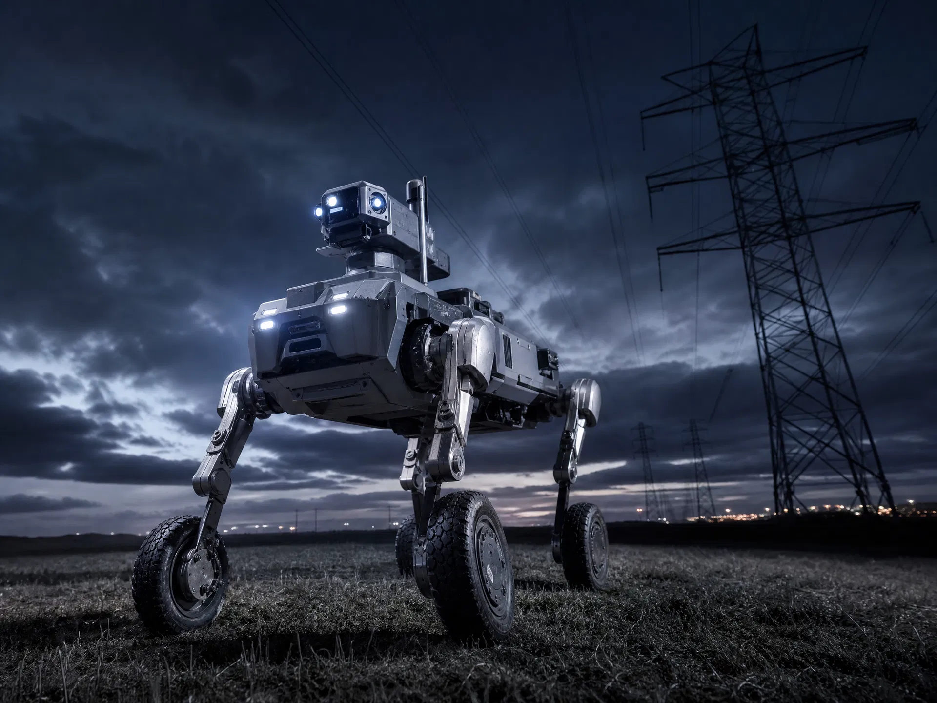
The M1’s robust chassis — IP67 protection, 45° slope capability, all-terrain legs — combined with Roamer X Pro’s GNSS-aided outdoor localization makes it well-suited for campus security patrol, perimeter monitoring and facility inspection in open outdoor environments.
Industrial Facility Security
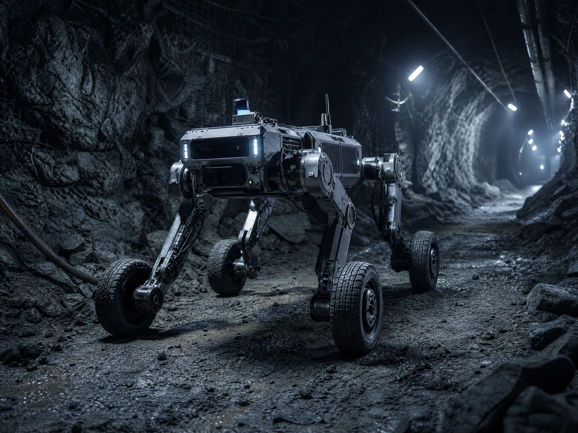
In power plants, petrochemical facilities and logistics warehouses, the M1 executes pre-programmed patrol routes autonomously, capturing thermal and visual data at each waypoint. The dual-LiDAR configuration provides 360° situational awareness, reducing blind spots compared to single-sensor platforms.
R&D Navigation Algorithm Testbed
Research teams use the M1 as a high-payload navigation testbed, leveraging the 100 TOPS dual-compute architecture to run custom SLAM algorithms alongside the Roamer X Pro baseline. The open developer interfaces (Ethernet, USB, SBUS) support integration of additional sensors and custom compute boards.
Indoor Autonomous Logistics
The M1’s 30 kg payload capacity and autonomous cruising capability make it a viable platform for indoor material transport in factories and warehouses. Operators define delivery routes on the APP map; the robot executes them repeatedly without human guidance, pausing for obstacles and resuming automatically.

Get TongChui M1 Roamer X Pro
Contact our team for a site assessment, demo arrangement or volume pricing. Custom deployment configurations are available for environments outside the standard operating envelope.