SLAM Navigation &
LiDAR Technology
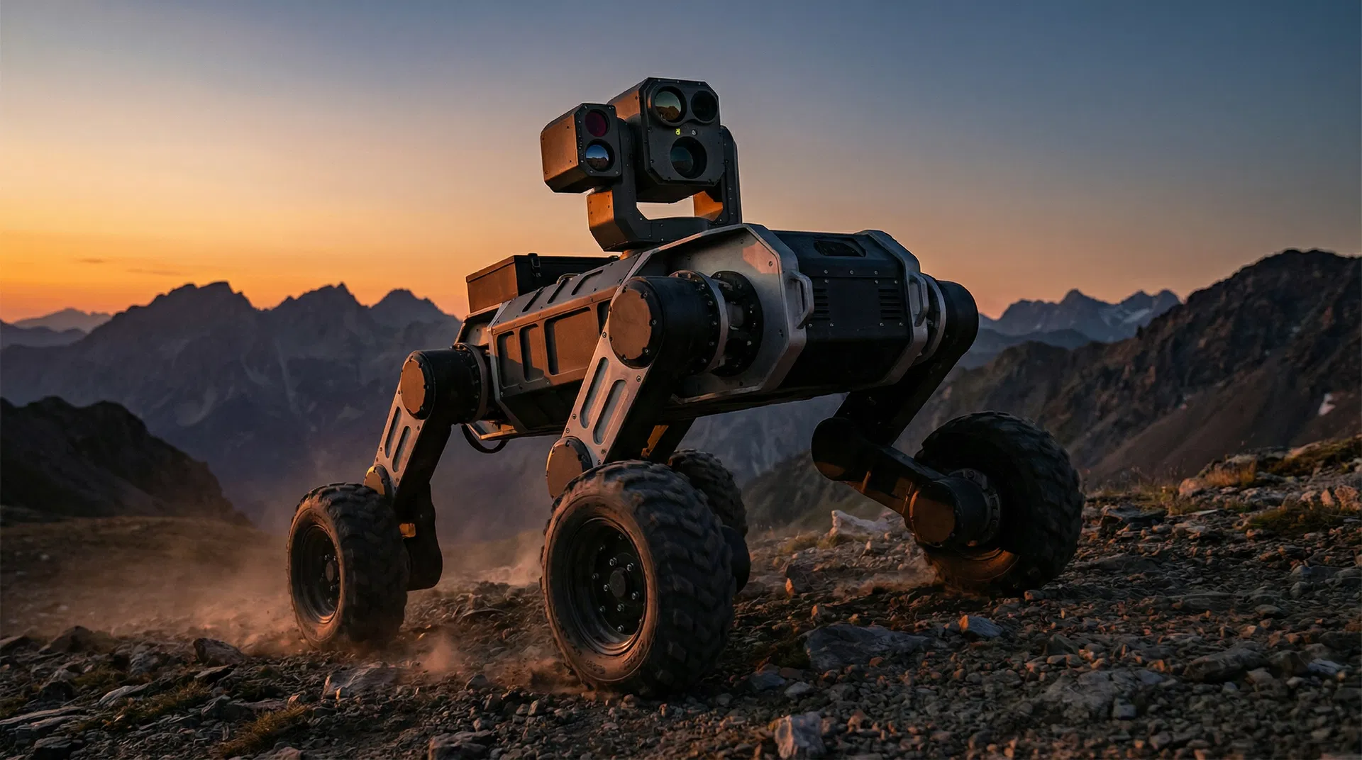
How our quadruped inspection robots navigate GPS-denied industrial environments with centimeter-level accuracy using Simultaneous Localization and Mapping (SLAM) and multi-layer LiDAR sensor fusion.
Six Core Navigation Technologies
Our robots combine multiple navigation technologies in a tightly integrated stack that delivers reliable autonomous operation across the full range of industrial inspection environments.
Simultaneous Localization and Mapping (SLAM)
SLAM is the core navigation algorithm that enables inspection robots to build a map of an unknown environment while simultaneously tracking their own position within it. Unlike GPS-dependent systems, SLAM works entirely from onboard sensor data — making it the essential technology for indoor, underground, and GPS-denied industrial environments.
Our robots implement LiDAR-based 3D SLAM with loop closure detection, enabling centimeter-level positioning accuracy in complex industrial layouts. The robot builds a persistent 3D map on first deployment, then navigates autonomously on all subsequent missions using that map as reference.
LiDAR Point Cloud Processing
Light Detection and Ranging (LiDAR) sensors emit laser pulses and measure the time-of-flight of returning signals to generate dense 3D point clouds of the surrounding environment. Industrial-grade LiDAR units on our robots capture millions of data points per second at ranges up to 100m.
Point cloud data is processed in real-time by the onboard edge compute system to extract geometric features, detect obstacles, and update the navigation map. Multi-return LiDAR handles complex environments including wire meshes, grating floors, and transparent surfaces that challenge camera-only systems.
GPS-Denied Navigation
Industrial inspection environments — power substations, underground tunnels, data centers, oil refineries, and enclosed facilities — are typically GPS-denied. Our robots operate with full autonomy in these environments using LiDAR SLAM, IMU fusion, and wheel odometry.
The navigation stack fuses data from LiDAR, inertial measurement unit (IMU), and proprioceptive sensors to maintain accurate position estimates even in featureless corridors, symmetrical spaces, and areas with electromagnetic interference that would degrade GPS signals.
Autonomous Waypoint Patrol
Inspection missions are defined as sequences of waypoints — specific locations the robot must visit, along with the inspection tasks to perform at each location (thermal scan, gas reading, visual check, meter reading). The robot executes these missions autonomously without human intervention.
Waypoints are configured via the cloud inspection platform with a drag-and-drop map interface. Mission schedules can be set to run at specific times, triggered by events, or executed continuously. The robot automatically returns to its charging dock between missions and resumes patrol on schedule.
Dynamic Obstacle Avoidance
Real-world industrial environments contain moving obstacles — personnel, vehicles, equipment being moved. Our robots implement multi-layer obstacle avoidance that distinguishes between static map features and dynamic obstacles, navigating around them without mission interruption.
The local planner uses a combination of LiDAR, depth cameras, and ultrasonic sensors to detect obstacles in real-time. When a dynamic obstacle is detected, the robot pauses, recalculates a collision-free path, and continues the mission. If a path cannot be found, the robot reports the blockage and waits for clearance.
Edge Computing & Real-Time Processing
All SLAM computation, obstacle avoidance, and mission execution runs on the robot’s onboard edge compute system — no cloud connectivity required for navigation. This ensures reliable autonomous operation even in environments with intermittent or no network connectivity.
The edge compute platform runs a real-time operating system with dedicated processing cores for navigation, sensor fusion, and AI inference. Inspection data (thermal images, gas readings, visual captures) is buffered locally and synchronized to the cloud platform when connectivity is available.
Navigation System Specifications
The navigation stack is designed for industrial-grade reliability in demanding environments. All specifications are validated in production deployments across power, oil & gas, rail, and data center facilities.
Positioning accuracy and sensor range vary by environment and configuration. Our applications engineering team provides site-specific performance validation as part of the deployment process.
Where SLAM Navigation Enables Inspection
SLAM-based navigation is the enabling technology for autonomous inspection across the full range of industrial environments where GPS is unavailable or unreliable.
Underground Tunnels
Metro tunnels, utility tunnels, and mining shafts present the most challenging GPS-denied environments. LiDAR SLAM maintains accurate positioning in long, featureless corridors where visual odometry fails.
Power Substations
Dense metallic infrastructure and high electromagnetic fields degrade GPS signals. SLAM-based navigation ensures reliable autonomous patrol around transformers, switchgear, and cable trays.
Oil & Gas Facilities
Enclosed process plants, compressor halls, and tank farms require GPS-independent navigation. SLAM handles the complex 3D geometry of industrial piping and equipment layouts.
Data Centers
Raised-floor environments with dense server rack arrays require precise navigation in narrow aisles. SLAM enables sub-centimeter positioning for consistent thermal and visual inspection coverage.
Indoor Manufacturing
Dynamic factory floors with moving equipment and personnel require real-time map updates. Our SLAM implementation handles dynamic environments with moving obstacles and layout changes.
Outdoor Industrial Sites
While GPS is available outdoors, SLAM provides redundant positioning for GPS-shadowed areas near large structures, under canopies, and in areas with multipath interference.
Point Cloud Maps & Digital Twins
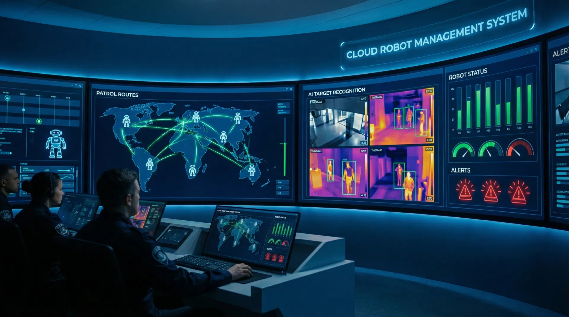
The 3D point cloud maps generated during initial deployment serve as the persistent navigation reference for all subsequent autonomous missions. These maps are also the foundation for digital twin applications — providing an accurate geometric model of the facility that can be used for planning, simulation, and change detection.
The cloud inspection platform visualizes the 3D map alongside inspection data — thermal anomalies, gas readings, and visual defects are geo-referenced to their exact location in the map. This spatial context transforms raw inspection data into actionable maintenance intelligence.
SLAM Navigation FAQs
Technical questions from engineers and operations teams evaluating autonomous inspection robots.
Common Questions About SLAM Navigation Technology
Answers to the most common questions from procurement managers, system integrators, and engineering teams evaluating our robotic platforms.
SLAM (Simultaneous Localization and Mapping) is the navigation technology that allows robots to build a map of their environment and track their position within it — all from onboard sensors, without GPS. For industrial inspection, this is critical because most facilities (substations, tunnels, data centers, refineries) are GPS-denied. SLAM enables fully autonomous patrol in these environments with centimeter-level positioning accuracy.
LiDAR SLAM is significantly more robust for industrial inspection than camera-based (visual) SLAM. LiDAR works in complete darkness, is unaffected by lighting changes, handles reflective surfaces and transparent materials, and provides direct 3D distance measurements rather than inferred depth. For industrial environments with variable lighting, dust, steam, and complex geometry, LiDAR SLAM is the preferred approach.
Yes. On first deployment, the robot is manually driven through the facility while simultaneously building a 3D map. This initial mapping mission typically takes 30–60 minutes for a standard industrial facility. Once the map is created, the robot navigates autonomously on all subsequent missions. Maps are stored in the cloud and can be updated incrementally as the environment changes.
The robot implements automatic re-localization algorithms that use distinctive geometric features in the map to recover position. If re-localization fails, the robot stops safely, alerts the operator via the cloud platform, and waits for manual intervention or repositioning. In practice, localization failures are rare in well-mapped environments with sufficient geometric features.
Yes. The navigation stack distinguishes between static map features and dynamic obstacles using real-time sensor data. When a moving obstacle is detected, the robot pauses and recalculates a collision-free path. Personnel safety is ensured through multiple redundant obstacle detection layers including LiDAR, depth cameras, and ultrasonic sensors.
No. All SLAM computation, obstacle avoidance, and mission execution runs on the robot’s onboard edge compute system. The robot operates fully autonomously without network connectivity. Inspection data is buffered locally and synchronized to the cloud platform when connectivity is restored. This ensures reliable operation in facilities with intermittent or no network coverage.
Still have questions?
Our application engineers are available to answer technical questions, discuss deployment requirements, and provide custom quotations.
Talk to an EngineerRelated Resources
Average response time: within 24 hours on business days
See SLAM Navigation in Action
Request a technical demonstration of autonomous navigation in a GPS-denied environment, or explore our product lineup to see which platform best fits your facility requirements.