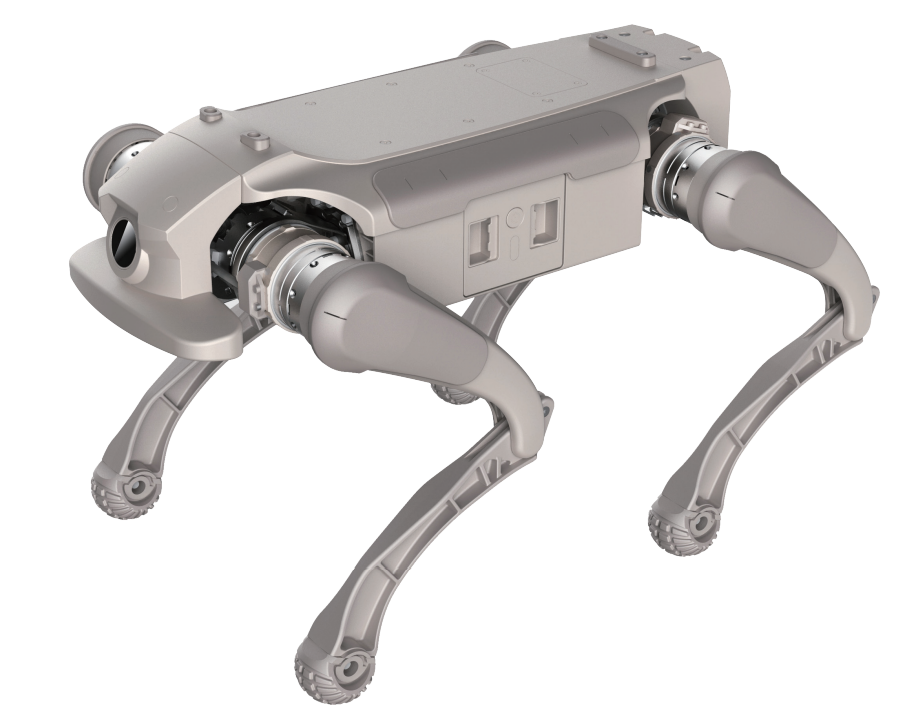
RZTL-1
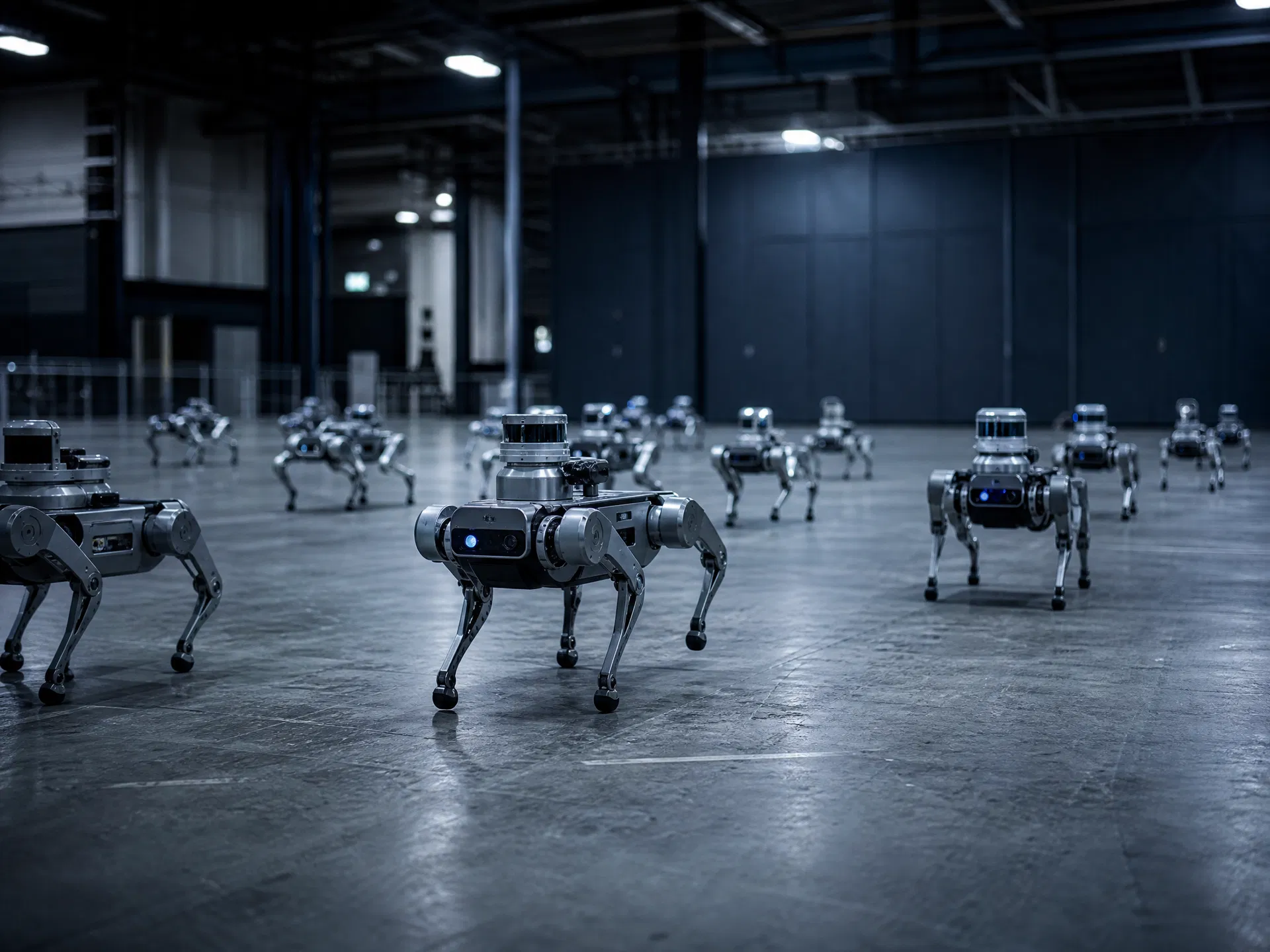
The RZTL-1 legged quadruped, upgraded with a full autonomous navigation sensor suite and the production-grade Roamer X algorithm — mapping, localization, path planning and obstacle avoidance, ready to deploy out of the box.
Navigation Hardware Configuration
The navigation kit is an optional add-on to the RZTL-1 base platform. All six components are pre-integrated and calibrated at the factory, so researchers can focus on algorithm development from day one.
Roamer X Navigation Algorithm
Roamer X is a production-grade autonomous navigation software suite developed by Shaanxi Smart Innovation Future Technology. It provides a complete closed loop from environment learning to autonomous task execution — no third-party SLAM library integration required.
The Roamer X algorithm processes LiDAR point clouds in real time to construct a navigable 2D map of the environment. The system distinguishes passable from impassable zones and supports loop-closure for maps up to 1 km in length — all from a single mapping pass.
Once a map is built, the robot automatically localizes itself within the environment on startup. Localization is robust to lighting changes and minor scene modifications, providing the reliable spatial reference that all autonomous tasks depend on.
Users define waypoints on the 2D map via the companion APP. The planner computes the optimal collision-free path and the robot executes the route at 0.6 m/s, pausing and resuming on command. Supports both mapped routes and custom user-defined routes.
The perception stack fuses LiDAR and depth camera data to detect obstacles within a 115° forward field of view. The robot smoothly detours around objects with height > 30 cm and width > 30 cm, and safely brakes when a clear path cannot be found.
Developer Interfaces
All expansion ports are accessible from the robot’s top panel. The dual compute architecture (Orin NX + RK3588S) allows parallel workloads — navigation on one processor, custom AI inference on the other.
RZTL-1 Base Platform Specifications
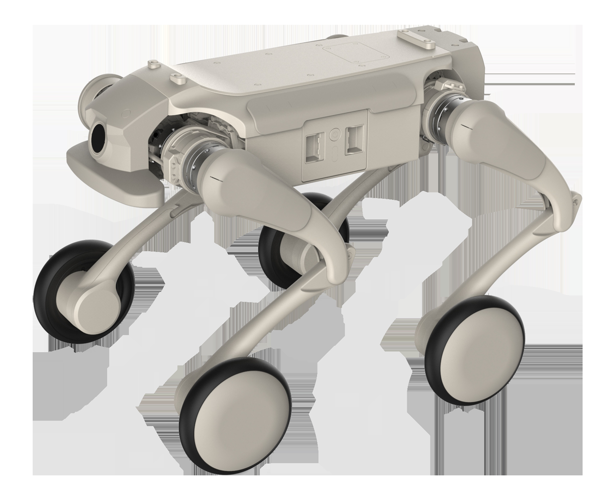
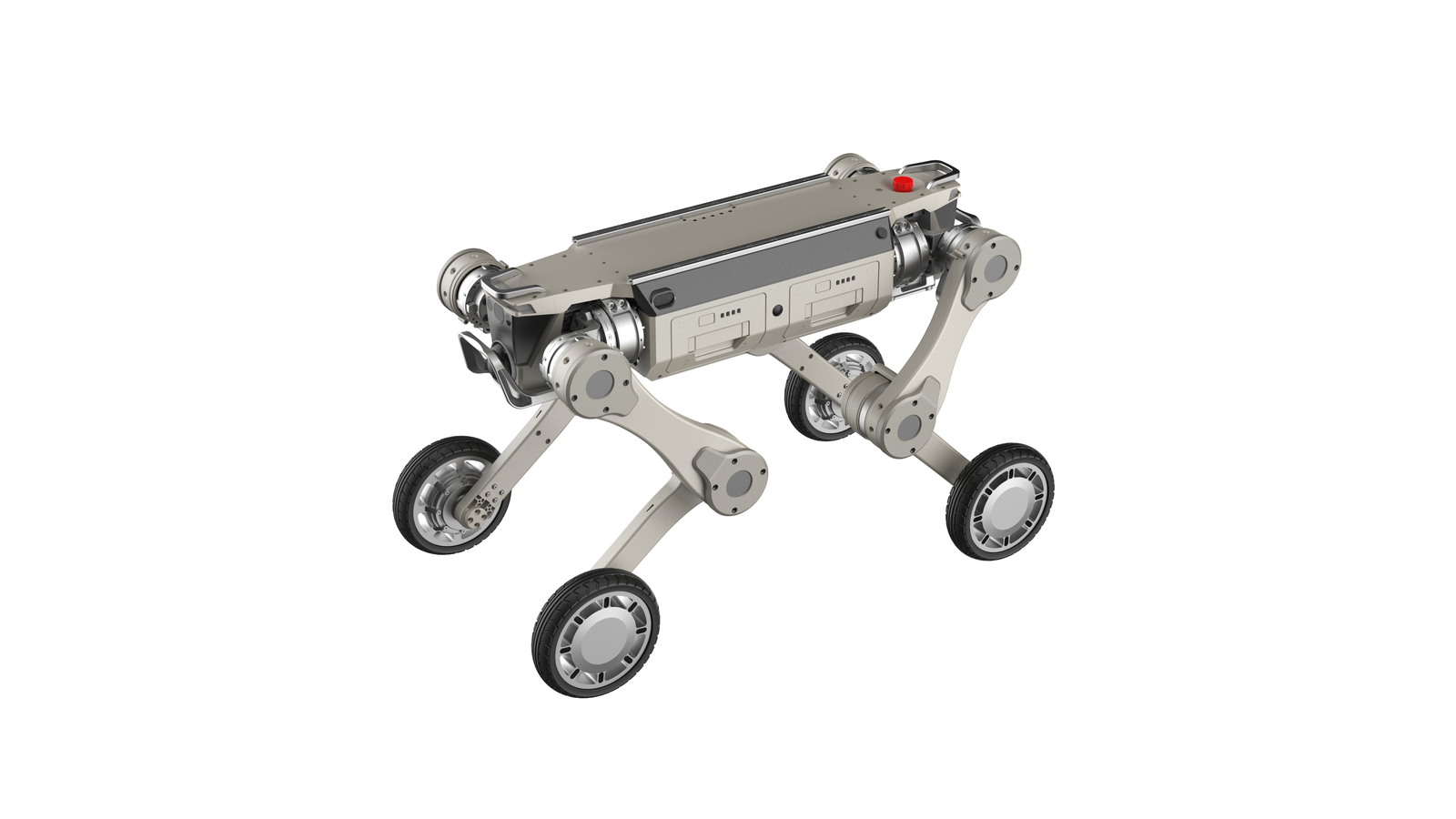
The navigation kit is built on top of the RZTL-1 “GangBi” legged quadruped. Key mechanical and performance parameters are listed below. For the full base platform datasheet, visit the RZTL-1 product page.
R&D Application Scenarios
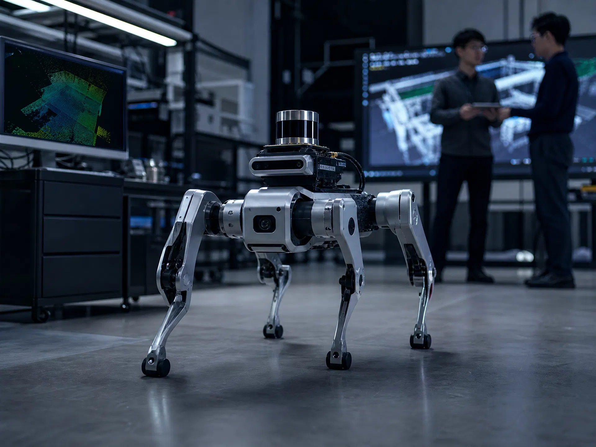
University Robotics Research
Research teams at universities and institutes use the RZTL-1 + Roamer X kit as a ready-to-run SLAM and autonomous navigation testbed. The Jetson Orin NX compute board, open ROS-compatible interfaces and full sensor suite eliminate months of hardware integration work, letting researchers focus on algorithm development.
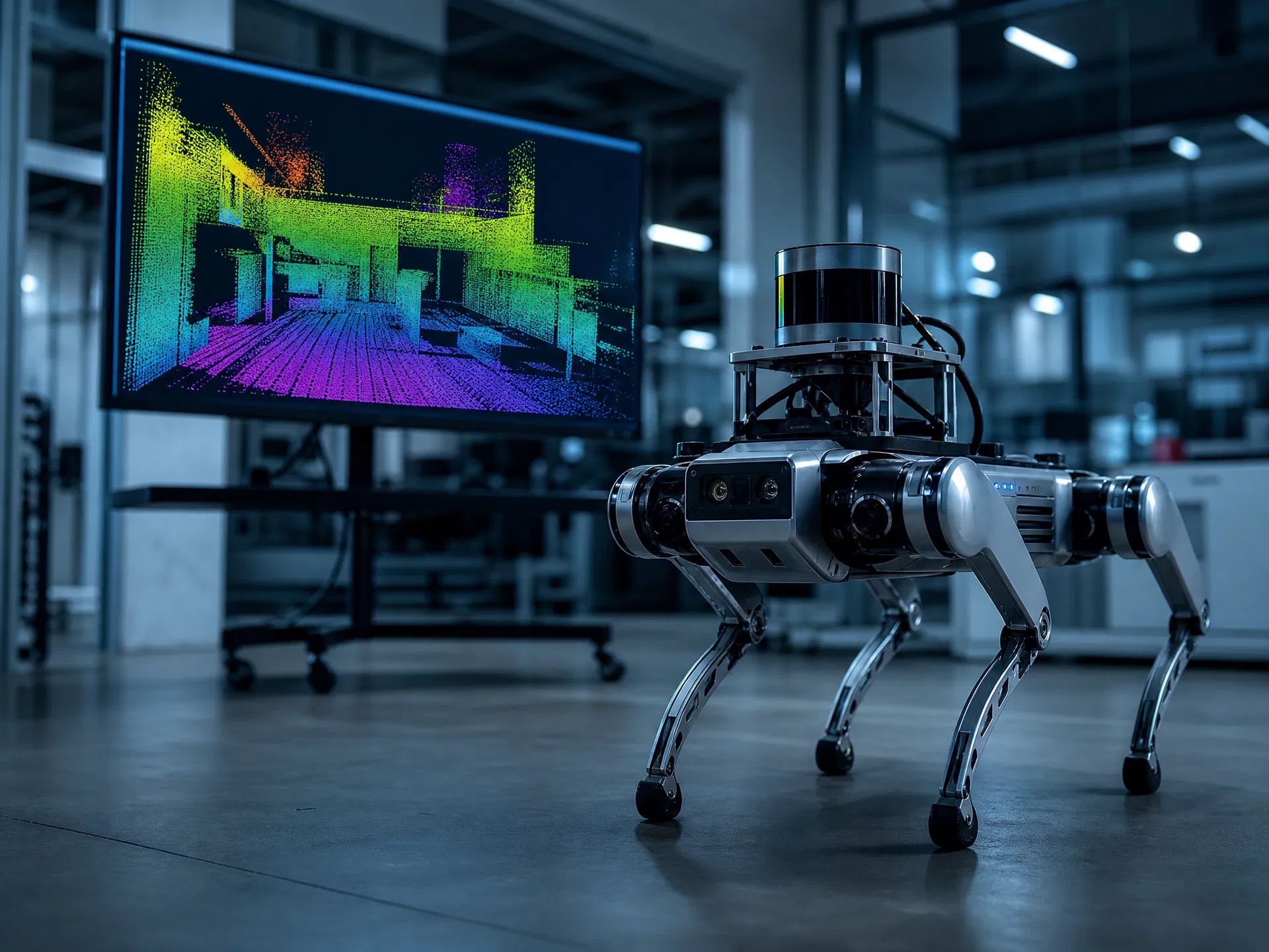
Indoor Autonomous Patrol
Equipped with the navigation kit, the RZTL-1 can execute fully autonomous multi-point patrol routes in offices, warehouses and data centers. The robot builds its own map on the first pass, then repeats the route indefinitely — capturing video, sensor data or custom payloads at each waypoint.
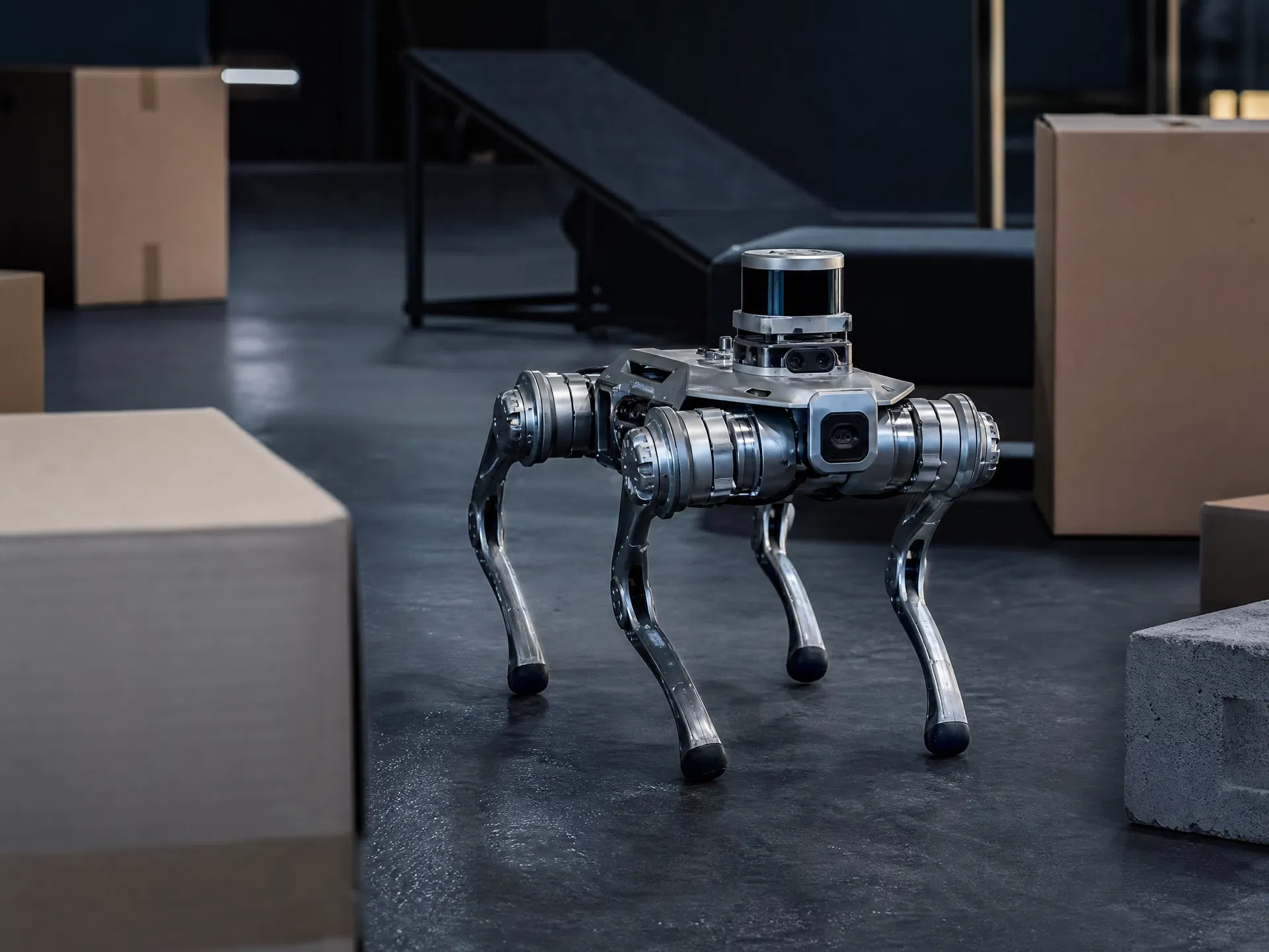
Target Tracking & Visual AI
The onboard camera and Orin NX compute enable real-time person and object tracking at up to 30 fps. Researchers can build and deploy custom visual AI models — object detection, pose estimation, anomaly detection — directly on the robot without cloud dependency.
Outdoor Navigation Experiments
The GNSS + RTK module extends navigation capability to outdoor environments, enabling geo-referenced mapping and centimeter-level localization in open areas. Combined with the IP54-rated chassis and 40° slope-climbing ability, the kit supports field robotics experiments in campus, park and light industrial settings.
Get the RZTL-1 Navigation Kit
Contact our team to configure the right sensor combination for your research goals. Volume pricing and academic partnership programs available.